
More than an awa
From the snow-fed springs of the Kaimanawa Ranges to the Tasman Sea, the Rangitīkei River has spent millions of years carving its way through the landscape, and into our story.
Depending on where you meet it, the Rangitīkei can be a fast-flowing mountain river, a tranquil stretch winding through farmland, or a powerful force cutting through sheer papa cliffs before reaching the Tasman Sea. A river that shaped the land Stretching around 185 kilometres, the Rangitīkei River is one of Aotearoa New Zealand's great rivers. For centuries it has shaped the history, landscape and identity of our district.
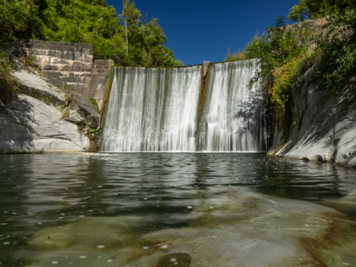
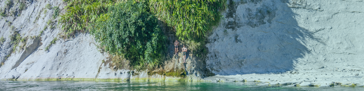
The Rangitīkei may not be as well-known as the Whanganui, Waikato or Manawatū rivers, but over millions of years it has carved a landscape unlike anywhere else in the North Island. The towering papa cliffs, deep gorges and dramatic river terraces that define much of the district today are all the work of this powerful awa.
Floods have always been part of the Rangitīkei story. While they've brought hardship to communities over the years, they've also sculpted the spectacular landscape we know today. The central reaches of the river, with their steep cliffs and narrow canyons, were even chosen to portray the River Anduin in The Lord of the Rings: The Fellowship of the Ring.
The river of many journeys
According to tradition, the name Rangitīkei was given by the explorer Haunui-a-Nanaia while pursuing his wife and her lover through the lower North Island around 600 years ago. After reaching the river, he named it Rangitīkei, commonly interpreted as "the day of striding out". Today, that name is carried proudly by the district that grew around its banks. For generations, the river has shaped not only where people lived, but also how they travelled, traded and connected with one another.
Long before European settlement, the Rangitīkei was one of the region's most important Māori travel and trade routes. Numerous pā and kāinga were established alongside the river, which provided fresh water, tuna (eel), kōura, fish and fertile land. More than a source of food and transport, the river remains a living taonga for iwi with ancestral connections to the area, carrying stories, whakapapa and identity through generations.
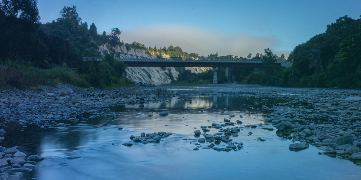
When Europeans arrived, they quickly recognised the river's importance. Early settlers established farms near the easiest river crossings. Ferries - most notably Thomas Scott's Ferry - transported people, livestock and supplies until bridges eventually connected communities and opened inland areas for trade and settlement. Today, the river continues to play a vital role in supporting the district's agricultural economy.
An awa for today
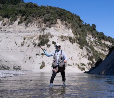
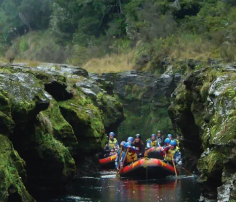
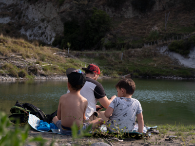
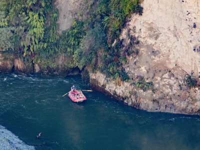
The Rangitīkei River is as much a playground as it is a working river. It is internationally renowned for white-water rafting, with rapids ranging from Grade 2 to Grade 5. Locals enjoy jet boating on their favourite stretches, while anglers travel from around New Zealand to fish for its renowned brown trout. For those seeking a slower pace, riverside walks and tramping tracks offer countless opportunities to soak up the peace and beauty of the valley, while photographers will find no shortage of spectacular viewpoints in every season.
Whether it's Taihape, Mangaweka, Hunterville, Bulls or Scotts Ferry, every community has its own connection to the Rangitīkei River. It has shaped our history, carved our landscape and continues to sustain the people who call this place home.
More than an awa, it is the thread that connects our district from the mountains to the sea.